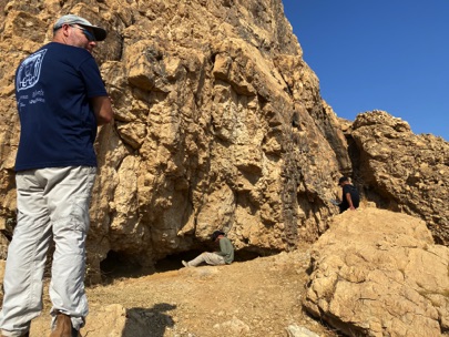
Remote Sensing at the Twin Caves
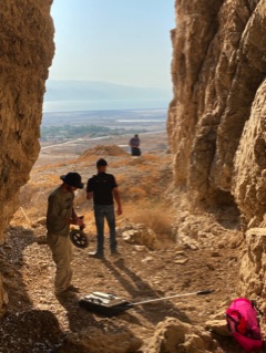
On Tuesday November 10, 2020, we scanned both the northern most cave at the Teomot complex and the notch at the third fracture line.
We also examined the clearing in front of the notch. The purpose of the remote sensing was to determine if there were any subsurface anomalies that would warrant excavation, or evidence of a cave below the opening.
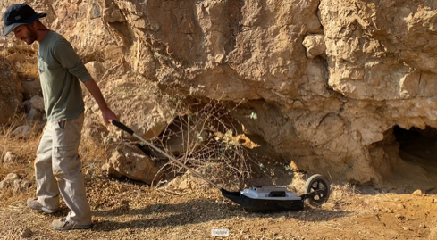
It will be several weeks before we get the analysis of the data back from the lab. In the meantime there was a definite indication of metal at one location and this will in due course of time need to be examined.
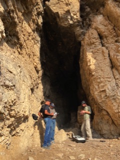
Dr. Uri Basson Prepares to Scan the Floor in the Northern Cave
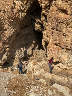
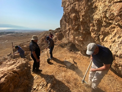
The area is within the boundary of a popular nature reserve area and so the crew was kept to a minimum to limit any potential effect on the environment.
Dr. Oren Gutfeld of Hebrew University provided oversight while Dr. Uri Basson from GeoSense proceeded with the remote sensing. The equipment consisted of GPR capable of very high resolution up to 5 meters.

Above: Dr. Oren Gutfeld and Crew Prepare the Surface
for the Remote Sensing Head
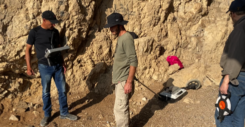
Below: Dr. Uri Basson Scans the Clearing in Front of the Notch
at the Third Fracture Line
PROJECT QUMRAN
Mystery of the Man-Made Tunnels
Archaeological
Excavations in the Judean Desert
Wilderness & the.....
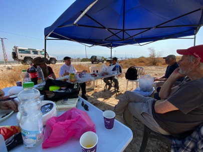
Once the work was complete, the crew gathered in the tent which had been set up in the valley below to brief visitors and discuss findings.